

We bring the potential of AI to geology
StrikOre 把地质、物探、化探、遥感和钻探资料整合研判,输出可追溯的潜力区、证据链和验证建议。AI 不替代地质专家——最终判断,仍由人拍板。 StrikOre integrates geological, geophysical, geochemical, remote-sensing and drilling data into traceable prospective areas, evidence chains and follow-up recommendations. AI doesn't replace geologists — the final call is still theirs.
StrikOre
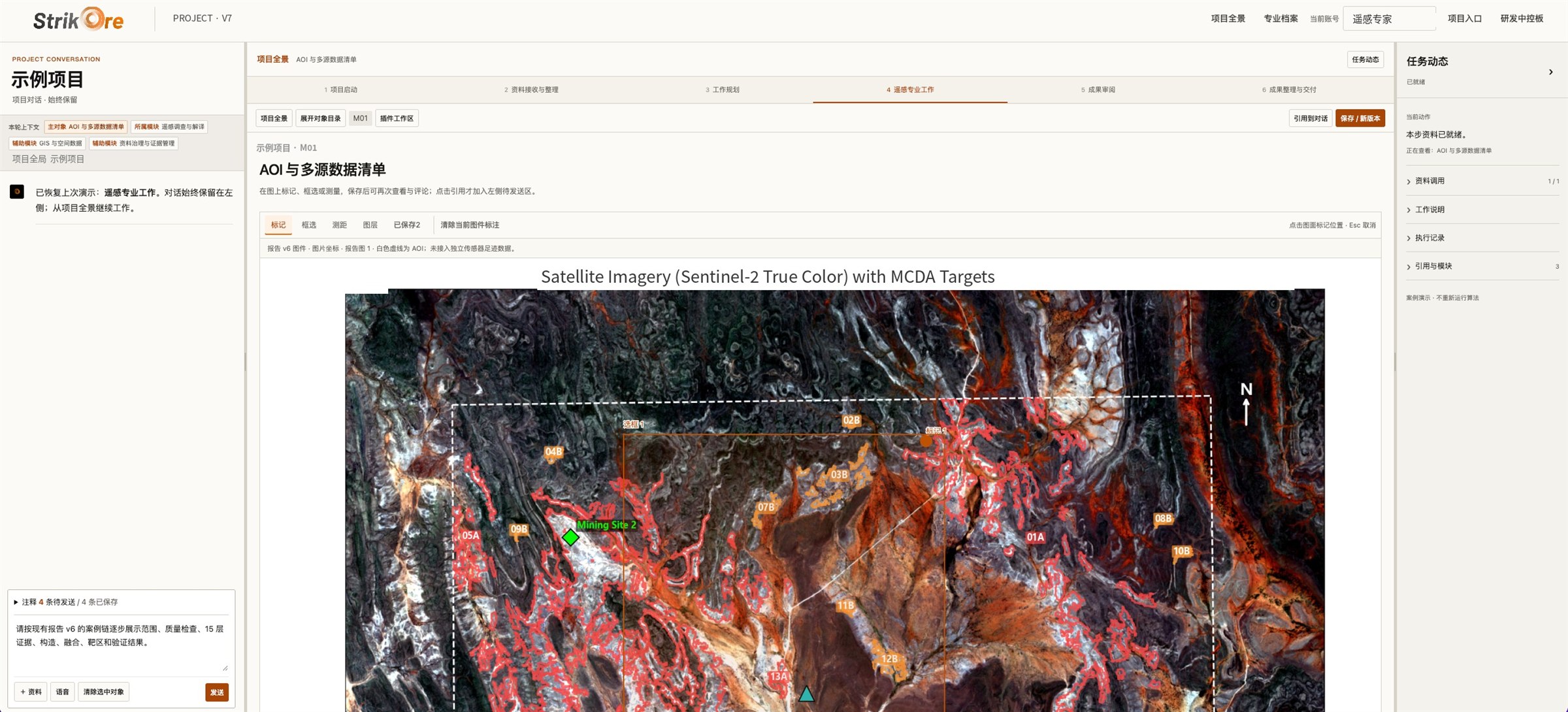
判据库、地质数据库、可审计的算法与项目工作台。系统原型已可演示,并在公司项目中使用。 A criteria library, a geological database, auditable algorithms and a project workbench. The prototype is running and in use on our own projects.
把找矿拆成可执行、可回放的工程节点,已建成 1000 余个。Exploration broken into executable, replayable steps — more than 1,000 built.
多源勘探资料统一入库,按项目检索与引用。Multi-source exploration data, stored and searchable per project.
蚀变、矿物识别、构造裂隙、地形地貌等维度相互印证,而不是只看一张异常图。Alteration, mineral mapping, structure and terrain cross-checking each other — not a single anomaly map.
每项结论都能回溯到源文件、坐标与版本,地质团队可以逐条核实、逐环节修改。Every conclusion links back to its source file, coordinates and version, so your team can check and adjust each step.
工作方式How we work
仍按矿产勘探的传统流程走,用 AI 把资料整合做到人工难以达到的广度和一致性。The conventional exploration sequence, with AI bringing a breadth and consistency to data integration that manual work can't reach.
资料整合、矛盾识别、遥感证据层与综合研判,输出潜力区与验证建议。Integration, conflict detection, remote-sensing evidence and assessment — prospective areas and follow-up plans.
踏勘、采样与现场核实,新证据回流、收敛潜力区。Reconnaissance, sampling and field checks; new evidence narrows the areas.
物化探、钻探与资源量估算,由具备资质的专业队伍主导。Geophysics, drilling and resource estimation, led by qualified teams.
进展Progress
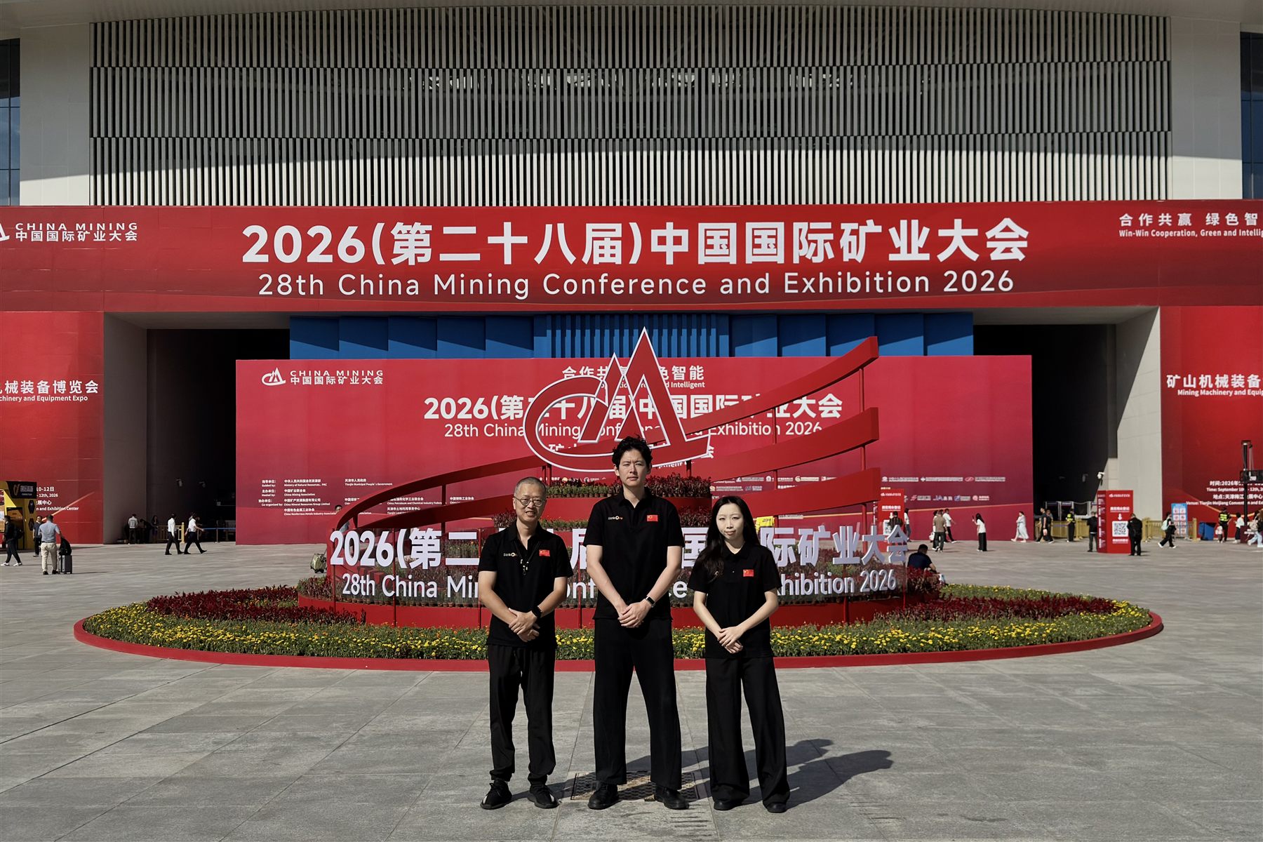
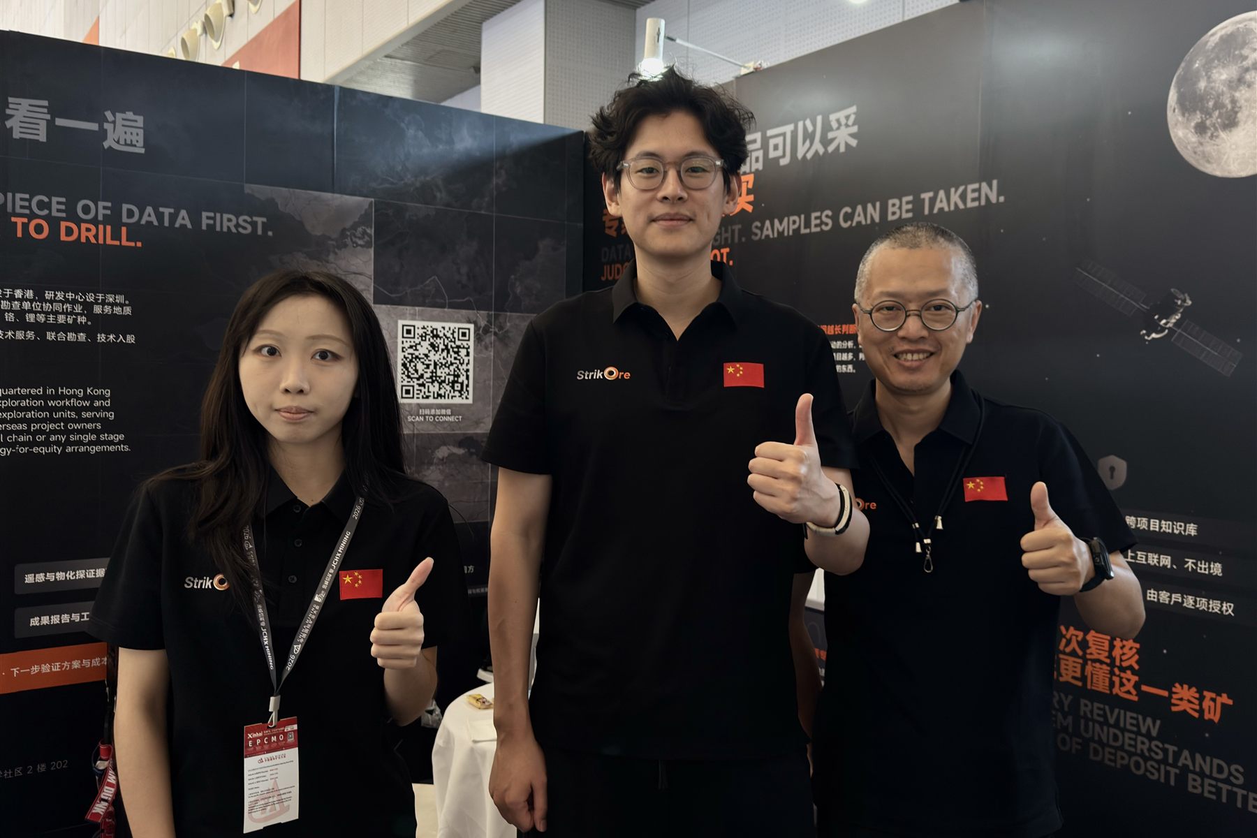
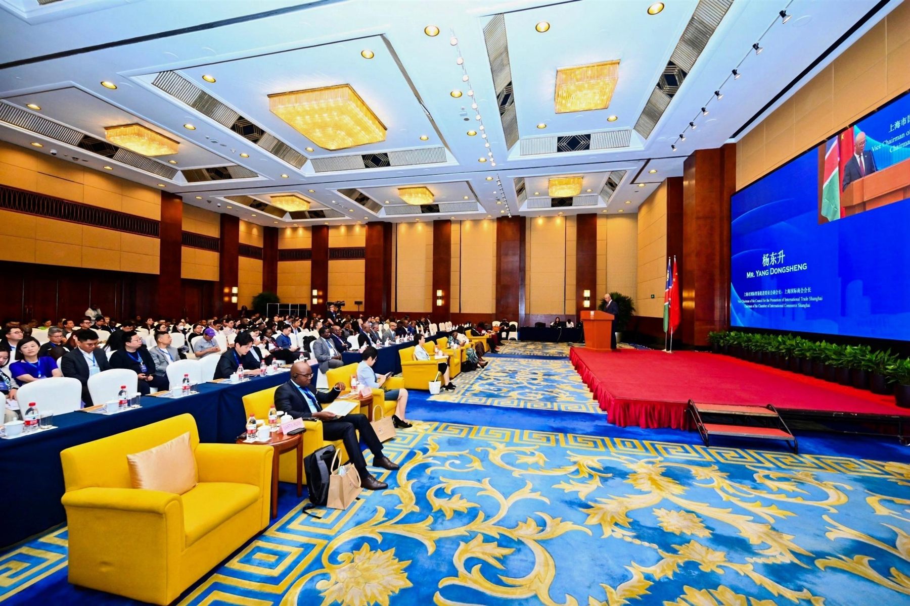
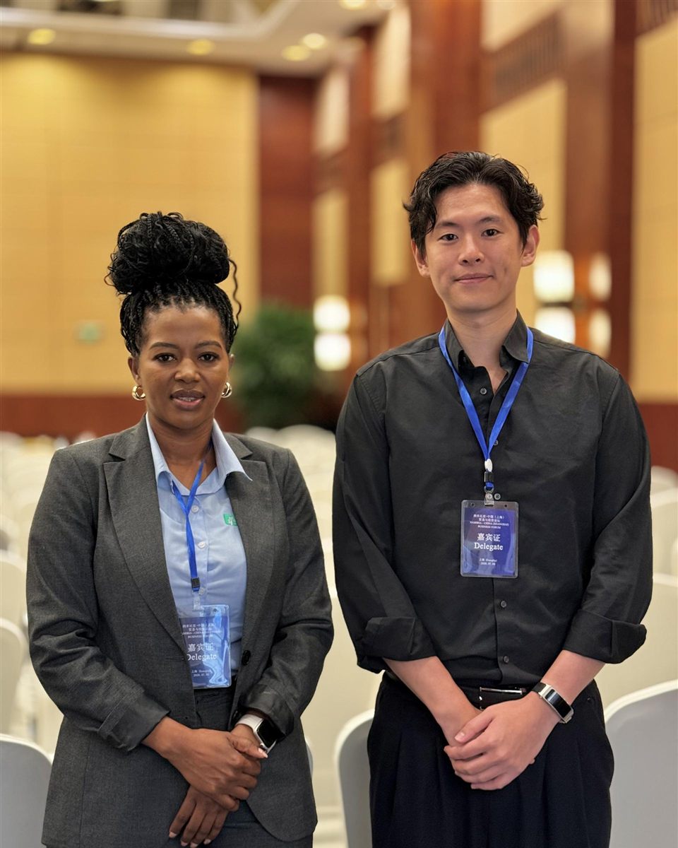
发布时间以届时正式信息为准Timing subject to official announcement

立足地球,遥望太空Every project sharpens the judgement.
算法要被采信,必须有大量"预测—现场验证"的配对记录。每一个地球上的项目,都让判断更准一点。从一个矿区开始,发来矿权范围、目标矿种和现有资料清单。An algorithm earns trust only through many prediction-versus-field-result pairs. Every project on Earth sharpens the judgement. Start with one district: send us the licence area, commodity and a list of your data.